Resources / Learn
Field-tested guides on PPP, RTK, drone mapping and infrastructure-free positioning.
RTK Without CORS: How Self-Converging PPP Base Stations Work
How a PPP base station delivers centimetre RTK anywhere on Earth with no CORS subscription, no internet and no known point.
PPP vs RTK vs PPK for Drone Mapping: Which One Do You Need?
Plain-language comparison of PPP, RTK and PPK workflows for UAV surveying — accuracy, latency, infrastructure and when to use each.
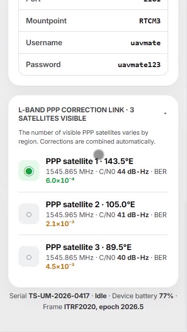
Connecting a PPP Base Station to DJI M350 RTK: Step-by-Step
Field guide: feed RTCM corrections from a self-converging base to a DJI Matrice 350 RTK — no CORS, no internet.
Drone RTK in Remote Areas: No Internet, No Problem
How to fly RTK missions in mountains, deserts and offshore sites where there is no cellular coverage and no CORS.
Absolute vs Relative Accuracy in Drone Surveying
Why two datasets that are each centimetre-tight can still miss each other by metres — and how to fix it.

ITRF2020 Explained: The Coordinate Frame Behind Modern GNSS
What ITRF2020 is, how it relates to WGS84 and national datums, and what it means for your drone data.
NTRIP Explained: Streaming RTK Corrections Over the Internet
Casters, mountpoints, clients and servers — the 10-minute guide to NTRIP for drone crews.
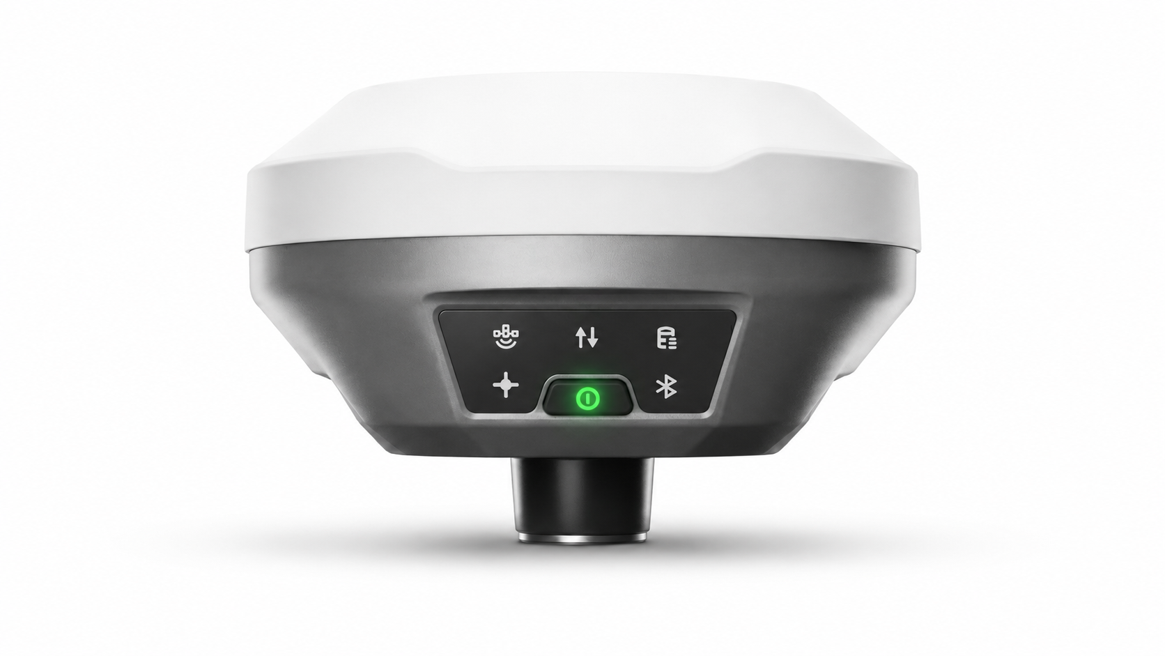
How to Choose an RTK Base Station for Drone Mapping (2026)
Seven questions that separate a base you will love from one you will fight — coverage, convergence, links, logging and cost.
RTCM 3.x Explained: The Language of RTK Corrections
What is inside an RTCM stream, which message types matter, and why compatibility is rarely a problem.

L-Band PPP Corrections: Satellite-Delivered Accuracy
How commercial L-Band services broadcast precise corrections from geostationary satellites — and what that means in the field.

Drone Stockpile Surveys in Mining: RTK Without Infrastructure
Volumetrics you can defend: repeatable centimetre surveys at pits where CORS has never reached.

One Base for Drones and Auto-Steer Tractors
Run UAV mapping and RTK auto-steer from the same correction source — season after season, field after field.

RTK for Construction: Drones and Machine Control on One Datum
Keep earthworks, grade checks and progress mapping on identical coordinates — without renting a CORS feed.

Do You Still Need GCPs with RTK Drones?
Where ground control points still earn their keep — and where an RTK/PPK workflow retires them.
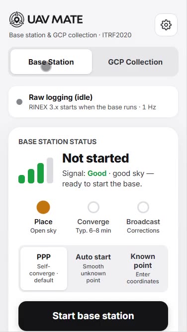
No RTK Fix? A Field Troubleshooting Checklist
From FLOAT to FIX in minutes: the systematic checklist for drone and rover RTK problems.
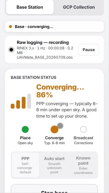
PPP Convergence Time: What It Is and How to Keep It Short
Why PPP needs minutes, what ‘converged’ means, and the habits that get you working fastest.

Satellite PPP vs CORS Subscriptions: Total Cost and Coverage
A sober comparison of the two ways to feed your RTK fleet — recurring network fees versus one-time self-converging hardware.
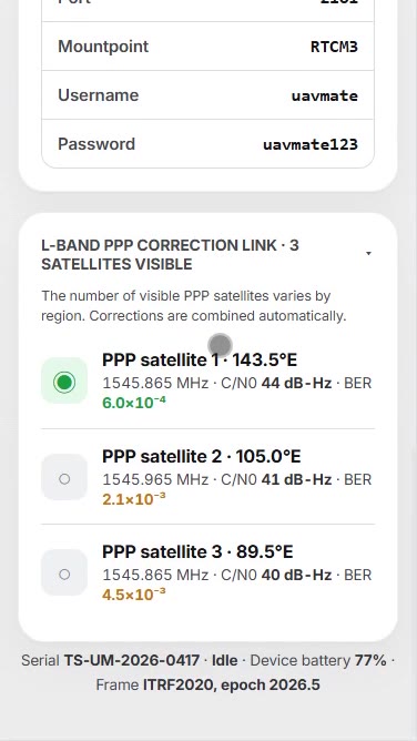
Radio vs NTRIP vs RC Link: Choosing a Correction Path
Three ways to move RTCM from base to rover — strengths, limits and a simple decision rule.
IMU Tilt Compensation: Measuring Without Levelling
How calibration-free, magnetics-immune tilt compensation speeds up point capture around the site.
RINEX Logging and the PPK Backup Workflow
Log raw observations at the base while flying RTK — and rescue any mission in post-processing.

D-RTK 2 and D-RTK 3 Alternatives: Options for DJI Drone Fleets
DJI D-RTK 2 and D-RTK 3 alternatives compared honestly: what the official stations do well, where they need external calibration, and what a self-converging PPP base changes for Matrice and Mavic Enterprise fleets.
Emlid Reach RS3 vs RS4 for Drone Mapping — and the Question Both Leave Open
Emlid Reach RS3 vs RS4 compared for drone base station duty: tilt, radios, all-band tracking, Flow and Caster workflows — plus the base-coordinates question neither model answers by itself.

RTK Base Station Cost Guide 2026: Prices, Subscriptions, Rent vs Buy
What RTK base stations and corrections really cost in 2026: hardware price bands, network RTK and CORS subscription costs per rover, rental economics, and the three-year math that decides rent vs buy.

How to Set Up a GPS Base Station Without a Known Point
No benchmark, no monument, no CORS — four ways to get trustworthy base station coordinates on unknown ground, from averaging and OPUS to PPP self-convergence, with the accuracy each method actually delivers.

Base Station Antenna Height: Slant Height, ARP, and the 5/8" Thread
Antenna height errors are the most common vertical bust in GNSS work. How to measure slant height correctly, what ARP and phase centre mean, when tripods and tribrachs matter, and why ground-placed bases skip the problem.
Phantom 4 RTK Base Station Setup: Keeping the Classic Flying in 2026
The Phantom 4 RTK is discontinued but tens of thousands still fly. Base station and NTRIP options for P4R fleets in 2026 — D-RTK 2, network RTK in GS RTK, and self-converging bases — plus PPK and repeatability upgrades.

Autel EVO RTK Base Station and NTRIP Setup Guide
Feeding corrections to Autel EVO II RTK and EVO Max 4T: custom NTRIP in the Autel Enterprise app, base station options beyond the network, and an offline workflow for sites without coverage.

Wingtra PPK: Choosing and Positioning the Base Station
WingtraOne GEN II flies a PPK-first workflow — which makes the base station the accuracy decision. Base options, RINEX requirements, WingtraHub processing, and how base coordinates set the absolute accuracy of every map.

Portable RTK Base Station: What Actually Matters in the Field
What makes an RTK base station genuinely portable: weight, tripod-free setup, battery, IP rating, self-positioning, and the transport question — a field-tested checklist beyond the marketing word.
Base and Rover GPS Explained: How RTK Pairs Actually Work
Base and rover GPS from first principles: what each unit does, why the pair beats standalone GNSS by a hundredfold, what the base coordinates control, and how modern setups collapse the classic complexity.

Solar Farm Drone Surveys with RTK: Topo, Piles, and Thermal on One Datum
RTK workflows for utility-scale solar: pre-construction topo, pile as-builts, tracker grading tolerances, and thermal inspection — with one base station holding a 500-hectare site on a single absolute datum.

Pipeline Corridor Mapping by Drone: RTK Across the Long Thin Site
Corridor mapping playbook for pipelines, powerlines, and roads: leapfrogging base stations, PPK for beyond-link legs, seamless multi-segment datums, and centimetre deliverables 200 km from the nearest CORS.

Cadastral Drone Surveys: Where Centimetre Maps Meet Legal Reality
Drones in cadastral and boundary work: what RTK accuracy legally can and cannot establish, how licensed surveyors actually use drone data, datum requirements, and the honest division of labour in 2026.
RTK for Bathymetric Surveys: Tides, Datums, and the Base on the Bank
How RTK transforms shallow-water bathymetry: RTK tides replacing gauges, ellipsoid-referenced surveying with USVs and echo sounders, chart datum transformations, and one base serving the boat, the drone, and the shore crew.